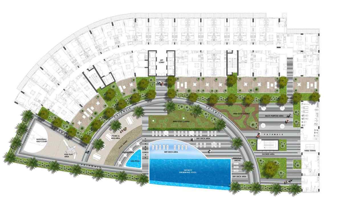
Still ancient travelers and researchers drew the maps of the whole continents which are still striking with the accuracy, but they began for certain with creation of location plans. The location plan is the reduced image of the small site of the ground surface in the orthometric projection as though the direction of look of the person looking at it from above was perpendicular to this surface.
If you look at the satellite picture and the topographic map of the same site of the Earth's surface, you will at once see difference between them. In the picture, as well as on the card, roads and buildings will be visible, vegetable and forests, but any parameters and characteristics of these real estate objects you according to the picture do not receive contour. At the same time according to the card where the same objects are put in the form of conventional signs, everything will be clear to you. By means of conventional signs and inscriptions to them it will be noted: of what material any given building and construction how many in it floors and whether it is inhabited is built; material of covering of roads their width and assignment; what plants prevail on tila volume other site covered with vegetation; what breeds of trees grow in the forest area what average diameter of their trunks and average height of kroner.
The location plan differs from such card in only larger scale therefore on it the surface by the smaller area and also bigger specification, as a rule, is represented. Each bush and each tree, even heap of stones is reflected in plans of scales 1:500 literally more largely, there is also such conventional sign. The more small card scale, the it is less detailed, but the it allows to capture big surface. Plans and local maps are used for receiving objective idea of arrangement of real estate objects including in the situational plan, taking into account that how far and in what party from them other objects are located.
Plans of the parcels which are available for each owner of such site are private example of location plan. If on this plan there are marks of heights of points of surface, the built buildings and subsidiary buildings, fencings, garden paths, gazebos and garden beds are put, you have, in fact, three-dimensional model of the area. Such model is basis for planning of the territory of the parcel and works on landscaping, it considerably facilitates design and laying of utilities.
When you have got the site to build on it the new house, such location plan is simply necessary. There are software products which allow to simulate relief of this site and to visualize it. You will be able to choose, for example, the optimum place for construction of giving or cottage taking into account the available project.
