Interesting question of geography – determination of real distance between the points specified on the card. But today it is possible, having in hands everything only the card or the globe, to learn the extent of the whole continent in kilometers.
It is required to you
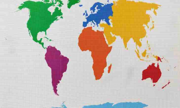
- - card of hemispheres or globe;
- - ruler;
- - calculator.
Instruction
1. To learn continent length from the North on the South, find the most northern point of the continent - that which is located above all others. Look at the width of this point by means of parallels (horizontal lines) lined on any to the card hemispheres. To determine coordinates more precisely, use the electronic card.
2. In the same way find the most southern point and calculate the number of degrees between the most southern and most northern point. For example, most southern a point of Africa is at width 34º21’ SL, and the most northern – at width 37º20’ NL. As points are located in different hemispheres, put their values. As a result the extent of Africa from the North on the South is equal 71º41’ (in degrees).
3. To find continent extent from the North on the South in kilometers, increase the received number of degrees by 111 km (it is so much kilometers in one degree on a meridian). Thus, length of Africa will be equal to 7930 km.
4. In the same way determine continent length from the East on the West – at first degrees, then in kilometers. Difference only that if meridians are identical on length, then parallels all different therefore length of one degree for each of them differs. To calculate continent length, it is necessary to consider the corner designated by figure on the line of a parallel. So, to count the number of kilometers in the continent from the West on the East, increase the equator degree size (111.3 km) by a cosine of the angle of a parallel necessary to you, then increase the received result by continent length in degrees.
5. It is possible to find the extent of the continent and on a certain parallel or on a certain meridian. For this purpose find the necessary line of a coordinate grid and its crossing with continent border. Then just as in the first case, calculate a difference between extreme points and increase by the number of kilometers in one degree.
6. It is possible to arrive more simply: just measure continent length a ruler and increase by the scale specified on the card. Of course, such result will be very approximate.