The cartography is the science investigating, modeling, displaying arrangement in space of objects and natural phenomena, studying their combination and interrelation with each other and society.
The subject of cartography ranks it more as natural sciences. Objects of cartography is Earth, the star sky, celestial bodies, the Universe. The cartography studies types, types and classification of cards, receptions and methods of their analysis, ways of display of objects of space on the card (sign system). The science investigates the sources which are used at creation of cards, does their systematic review and the analysis; develops the theory, technology of design, creation of cards and their use.
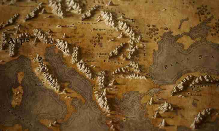
Popular results of cartography which are clear to most of people it is the figurative and sign models of space presented in the form of globes, flat, relief and volume maps. These models can be created on paper, plastic or in the form of the electronic image. Maps have great practical value: they are widely used in the cultural and educational, economic and defensive purposes.
The cartography is closely connected with other sciences. On cards information relating to the most various systems of knowledge is displayed. In this regard select several sections of cartography: historical, geological, economic cartography, etc. The cartography is very closely connected with geography and geodesy. The geodesy gives to this science exact data on a form and the sizes of Earth. The aero phototopography and topography create primary sources for cartography - topographic maps of large scale. Cards can be also created in laboratory (room) conditions when processing various sources (economical and statistical, geographical, etc.). The group of the experts having different qualification takes part in creation of the card. And at all stages of its production the management which it is accepted to call editing the card is made uniform scientific and technical. Works on production of the original of the card include creation of a cartographic grid, transferring of maintenance of sources, drawing of the original in the system of signs. According to primary original of the card prepare for the edition, at the same time necessary number of copies is printed. The made cards are for geography and another, connected with cartography sciences, an effective remedy for a research of space, interrelations and combinations of the natural and social phenomena. A "young" division of science is the digital (computer) cartography which appeared thanks to modern computer technologies. The computer cartography quite can change ways of visualization of space, without canceling at the same time the existing ways of recalculation of coordinates during process of display to the Earth's surface planes.